
Real Estate Drone Photography Cost: Pricing Explained
- camron246
- Feb 5
- 5 min read
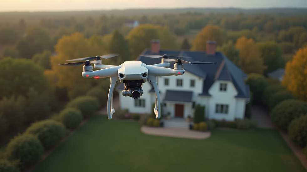
When it comes to showcasing properties in the most captivating way, drone photography has revolutionized the real estate industry. The ability to capture stunning aerial views adds a dynamic perspective that traditional photography simply cannot match. However, understanding the real estate drone photography cost can be a bit complex. In this post, I will walk you through the key factors that influence pricing, helping you make informed decisions whether you are a property seller, agent, or developer.
What Influences Real Estate Drone Photography Cost?
Pricing for drone photography in real estate depends on several important factors. Knowing these will help you understand why costs vary and what you should expect when hiring a professional drone service.
1. Property Size and Complexity
Larger properties or those with complex layouts require more flight time and planning. For example, a sprawling estate with multiple buildings and extensive grounds will take longer to capture than a simple suburban home. This naturally increases the cost.
2. Location and Accessibility
Flying drones in urban areas or places with strict regulations can add to the price. Some locations require special permits or additional insurance, which drone operators must factor into their fees. In Upstate NY, where CADi Services operates, local regulations and weather conditions can also influence pricing.
3. Flight Time and Number of Shots
The amount of time the drone spends in the air and the number of photos or videos captured directly affect the cost. More shots mean more editing and post-processing work, which adds value but also increases the price.
4. Equipment and Technology
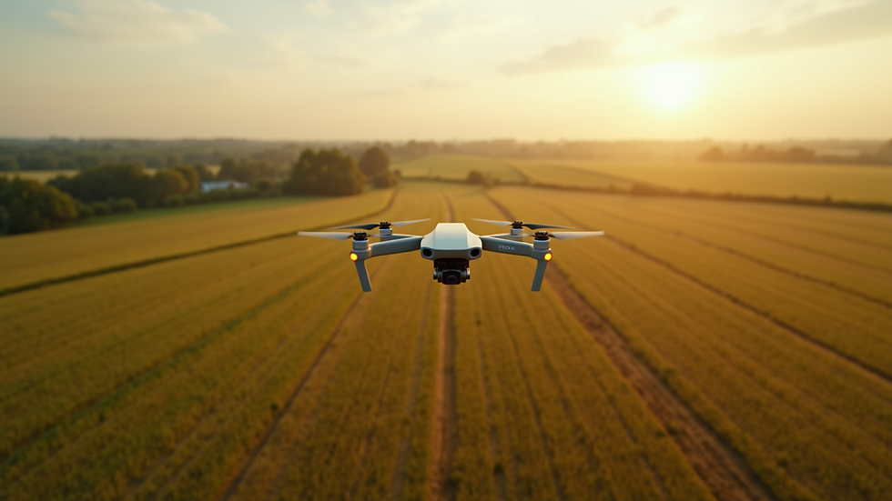
High-end drones equipped with 4K cameras, thermal imaging, or LiDAR sensors cost more to operate. If you need advanced imaging for construction progress or agricultural analysis, expect a higher price tag.
5. Post-Processing and Editing
Raw drone footage often requires professional editing to enhance colors, correct lighting, and stitch images for panoramic views. This service is usually included in the pricing but can vary depending on the complexity of the edits.
Understanding Real Estate Drone Photography Cost in Upstate NY
In Upstate NY, the real estate drone photography cost reflects the unique demands of the region. Weather conditions, local regulations, and the diversity of properties all play a role.
Typical Pricing Models
Most drone photographers offer pricing based on one of the following models:
Flat Rate Per Property: A fixed price regardless of property size, usually for standard homes.
Hourly Rate: Charges based on the actual flight and editing time.
Package Deals: Bundled services including aerial photos, videos, and sometimes ground shots.
Average Price Ranges
For a typical residential property, prices usually range from $200 to $500. Larger commercial properties or specialized projects can cost upwards of $1,000 or more. These prices often include:
Pre-flight planning and permits
Drone operation and flight time
Post-processing and delivery of images/videos
Why Choose Professional Services?
Hiring a professional drone service like CADi Services ensures compliance with FAA regulations, high-quality imagery, and reliable delivery times. Cutting corners with inexperienced operators can lead to poor results or legal issues.
How Much to Charge for Real Estate Photography?
If you are a drone photographer or considering entering this market, setting the right price is crucial. Here are some guidelines to help you determine your rates confidently.
Assess Your Costs
Calculate your expenses including:
Drone equipment and maintenance
Insurance and permits
Software for editing
Travel and time investment
Consider Your Skill Level and Experience
Experienced photographers with a strong portfolio can command higher prices. If you offer specialized services like 3D mapping or thermal imaging, adjust your rates accordingly.
Market Research
Look at competitors in your area, especially in Upstate NY. Understand what they charge and what services they include. This will help you position your pricing competitively.
Pricing Strategies
Entry-Level Pricing: For beginners, start with lower rates to build a client base.
Value-Based Pricing: Charge based on the value your images bring to the client, such as faster property sales or better marketing.
Package Pricing: Offer tiered packages with different levels of service to appeal to a wider range of clients.
Example Pricing Breakdown
| Service Component | Suggested Price Range |
|----------------------------|-----------------------|
| Basic Aerial Photoshoot | $150 - $300 |
| Video Footage (1-3 minutes) | $200 - $400 |
| Advanced Editing & Retouch | $50 - $150 |
| Additional Flight Time | $50 - $100 per hour |

Tips for Getting the Best Value from Drone Photography
To maximize the benefits of drone photography while managing costs, consider these practical tips:
Plan Ahead: Schedule shoots during good weather and optimal lighting conditions to reduce the need for reshoots.
Communicate Clearly: Define your goals with the photographer to avoid unnecessary shots.
Bundle Services: Combine aerial photography with ground shots or video tours for a comprehensive marketing package.
Leverage Technology: Use drones with GPS and automated flight paths for consistent and efficient results.
Review Portfolios: Choose providers with proven experience in real estate to ensure quality.
Why Investing in Quality Drone Photography Pays Off
Investing in professional drone photography is more than just a marketing expense. It’s a strategic move that can significantly impact property visibility and sales success.
Enhanced Visual Appeal: Stunning aerial shots attract more potential buyers and generate higher interest.
Better Property Understanding: Aerial views provide context about the neighborhood, land size, and unique features.
Competitive Edge: Properties with drone imagery stand out in crowded markets.
Faster Sales: High-quality visuals can reduce time on market and increase sale prices.
By understanding the factors behind real estate drone photography pricing, you can make smarter choices that align with your goals and budget.
If you want to explore more about the real estate aerial photography cost, CADi Services offers tailored solutions designed to meet the needs of businesses across agriculture, construction, real estate, and infrastructure in Upstate NY. Their expertise ensures you get the most precise and efficient aerial data to support your projects.
Planning Your Next Drone Photography Project
When you’re ready to elevate your property marketing or project documentation, keep these final pointers in mind:
Set Clear Objectives: Know what you want to achieve with your drone images.
Budget Wisely: Allocate funds based on the scope and importance of the project.
Choose Experienced Providers: Work with companies that understand local regulations and have a strong track record.
Schedule Regular Updates: For construction or agricultural projects, periodic drone flights provide valuable progress insights.
With the right approach, drone photography becomes a powerful tool that delivers exceptional value and impressive results. Whether you’re showcasing a luxury home or monitoring infrastructure, understanding the pricing landscape helps you invest wisely and reap the benefits of cutting-edge aerial imaging.


Comments