
Breaking Down Real Estate Photography Rates: What You Need to Know
- camron246
- Apr 27
- 4 min read
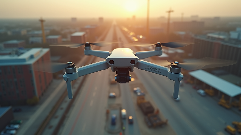
When it comes to showcasing properties in the most captivating way, aerial photography has become an indispensable tool. The sweeping views and dynamic perspectives offered by drones elevate real estate marketing to a whole new level. However, understanding the real estate photography rates and what influences them can be a bit complex. Today, I’m breaking down the costs involved in real estate aerial photography, helping you make informed decisions that maximize your investment.
Understanding Real Estate Photography Rates
Real estate photography rates vary widely depending on several factors. These rates are influenced by the size of the property, the complexity of the shoot, the experience of the photographer, and the equipment used. For aerial photography specifically, additional considerations come into play, such as drone operation licenses, flight time, and post-processing.
Typically, you can expect to pay more for aerial shots than for standard ground-level photos. This is because drone photography requires specialized skills and equipment, as well as adherence to strict regulations. For example, a basic package might include a handful of aerial shots alongside traditional photos, while premium packages could offer extensive drone footage, 3D mapping, or even video tours.
Here are some key elements that affect real estate photography rates:
Property size and location: Larger properties or those in hard-to-reach areas may require more flight time and planning.
Number of photos and videos: More deliverables mean more time spent shooting and editing.
Photographer’s expertise: Experienced drone pilots with a strong portfolio often charge higher rates.
Post-production work: Editing, color correction, and enhancements add to the overall cost.
Permits and insurance: Legal compliance and safety measures are essential and factored into pricing.

How much to charge for real estate photography?
If you’re a photographer or a drone operator considering entering the real estate market, setting your rates strategically is crucial. You want to be competitive but also ensure your work is valued fairly. Here’s a practical approach to pricing your services:
Research local market rates: Check what other photographers in your area charge for similar services.
Calculate your costs: Include equipment maintenance, insurance, travel expenses, and editing time.
Consider your skill level: Beginners might start lower to build a portfolio, while seasoned pros can command premium prices.
Offer tiered packages: Provide options ranging from basic photo shoots to comprehensive aerial video and mapping services.
Factor in licensing and permits: If you hold a Part 107 drone pilot license, this adds credibility and justifies higher rates.
For example, a typical real estate aerial photography session might start around $200 for a small property with a few shots. Larger estates or commercial properties could push rates to $500 or more, especially if video and advanced editing are included.
Remember, clear communication with clients about what’s included in each package helps avoid misunderstandings and builds trust.
Breaking down the components of real estate aerial photography cost
When clients ask about the real estate aerial photography cost, it’s important to explain the breakdown so they understand the value behind the price. Here’s how the costs typically stack up:
Drone operation and pilot fees: Skilled pilots charge for their time flying and managing the drone safely.
Equipment costs: High-quality drones and cameras are expensive to purchase and maintain.
Flight planning and permits: Some locations require special permissions or coordination with local authorities.
Post-processing and editing: Raw footage and images need professional editing to look their best.
Travel and logistics: Getting to remote or difficult sites can add to expenses.
Insurance: Liability coverage protects both the operator and the client.
By understanding these components, clients can appreciate why aerial photography is a worthwhile investment that enhances property listings and attracts more buyers.
Tips for maximizing value from aerial real estate photography
To get the most out of your investment in aerial photography, consider these actionable recommendations:
Plan your shoot carefully: Schedule flights during optimal weather and lighting conditions for the best results.
Combine aerial with ground shots: A mix of perspectives tells a more complete story of the property.
Use high-resolution images: Crisp, clear photos stand out in listings and marketing materials.
Request video tours: Dynamic footage can engage potential buyers more effectively than still images alone.
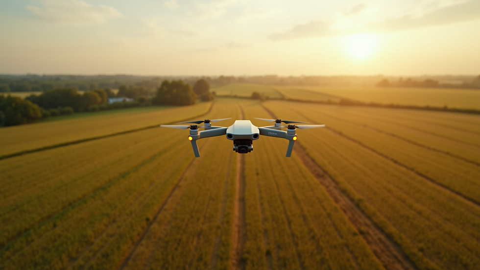
Leverage drone data for insights: In agriculture or construction, aerial imaging can provide valuable information beyond marketing.
By working closely with your photographer or drone service provider, you can tailor the shoot to highlight the property’s unique features and appeal to your target audience.
Why investing in professional aerial photography pays off
In competitive markets, professional aerial photography can be a game-changer. It not only enhances the visual appeal of listings but also provides practical benefits:
Increased buyer interest: Stunning aerial views capture attention and generate more inquiries.
Faster sales: Properties with high-quality images tend to sell quicker.
Better decision-making: For construction and infrastructure projects, aerial data supports planning and monitoring.
Stronger brand reputation: Using advanced imaging technology positions your business as innovative and reliable.
Choosing a trusted provider with local expertise ensures compliance with regulations and smooth project execution. For businesses in Upstate NY, partnering with a service like CADi Services means access to cutting-edge drone imaging tailored to your industry needs.
By understanding the factors behind real estate photography rates and the real estate aerial photography cost, you can confidently invest in aerial imaging that elevates your property marketing and operational insights. Whether you’re showcasing a sprawling estate or monitoring a construction site, professional drone photography delivers unmatched value and impact.


Comments