
Exploring Professional Drone Mapping Services with Aerial Photogrammetry
- camron246
- Mar 16
- 4 min read
In today’s fast-paced industries like agriculture, construction, real estate, and infrastructure, having accurate and timely data is crucial. That’s where professional drone mapping services come into play. These services leverage cutting-edge technology to capture detailed aerial images and transform them into actionable insights. One of the most powerful tools in this domain is photogrammetry, a technique that turns photographs into precise 3D models and maps. Let me take you through the exciting world of drone mapping and how it can revolutionize your projects in Upstate NY.
The Power of Drone Mapping Services in Modern Industries
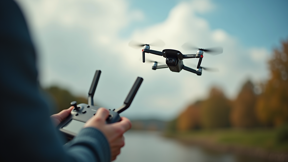
Drone mapping services have rapidly become indispensable for businesses that require detailed spatial data. Whether you’re managing a sprawling farm, overseeing a construction site, or marketing real estate properties, drones provide a bird’s-eye view that traditional methods simply cannot match.
Here’s why drone mapping services stand out:
Speed and Efficiency: Drones can cover large areas quickly, capturing high-resolution images in a fraction of the time it would take ground teams.
Precision and Accuracy: Advanced sensors and GPS technology ensure that the data collected is highly accurate, enabling precise measurements and analysis.
Cost-Effectiveness: Compared to manned aircraft or satellite imagery, drones offer a more affordable solution without compromising quality.
Safety: Drones can access hard-to-reach or hazardous areas without putting personnel at risk.
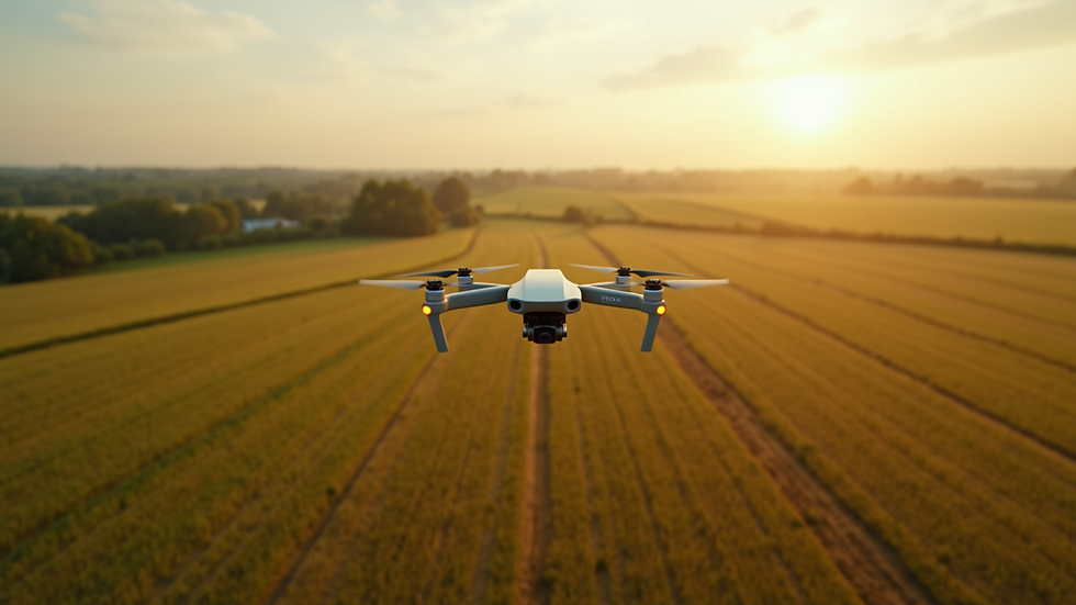
For example, in agriculture, drone mapping can monitor crop health, identify irrigation issues, and optimize fertilizer use. In construction, it helps track progress, manage materials, and detect potential problems early. Real estate professionals benefit from stunning aerial visuals that attract buyers, while infrastructure projects gain from detailed topographic maps and site surveys.

How Drone Mapping Services Integrate Photogrammetry
One of the most exciting aspects of drone mapping is the integration of photogrammetry. This technique involves taking multiple overlapping photographs from different angles and processing them to create detailed 3D models and maps.
Here’s how it works in practice:
Data Collection: The drone flies over the target area, capturing hundreds or thousands of images with precise overlap.
Image Processing: Specialized software stitches these images together, aligning common points to build a 3D point cloud.
Model Generation: From the point cloud, the software generates detailed 3D models, orthomosaic maps, and digital elevation models.
Analysis and Application: These outputs provide valuable insights for decision-making, planning, and monitoring.
The beauty of this process is that it transforms simple photographs into rich, spatially accurate data sets. This allows businesses to visualize terrain, measure volumes, assess changes over time, and much more.
If you want to explore more about aerial photogrammetry services, you’ll find that they offer unmatched precision and versatility for a wide range of applications.
How Much Does Photogrammetry Cost?
Understanding the cost of photogrammetry services is essential for budgeting and planning. The price can vary based on several factors, including:
Project Size: Larger areas require more flight time and data processing.
Resolution Requirements: Higher resolution images and models demand more advanced equipment and longer processing times.
Complexity of Terrain: Challenging landscapes may require additional flights or specialized techniques.
Deliverables: The type of output you need—whether 3D models, orthomosaics, or volume calculations—affects the cost.
Turnaround Time: Faster delivery often comes with a premium.
On average, professional drone mapping with photogrammetry can range from a few hundred to several thousand dollars per project. For example, a small construction site survey might cost around $500 to $1,000, while a large agricultural field spanning hundreds of acres could be several thousand dollars.
To get the best value, it’s important to work with a provider who understands your specific needs and can tailor the service accordingly. Investing in quality data upfront can save significant time and money down the line by improving accuracy and reducing errors.
Practical Applications of Drone Mapping and Photogrammetry
The versatility of drone mapping combined with photogrammetry opens up numerous practical applications across industries. Here are some standout examples:
Agriculture: Monitor crop health using multispectral imaging, assess irrigation efficiency, and create detailed field maps for precision farming.
Construction: Track site progress with regular aerial surveys, calculate stockpile volumes, and generate as-built documentation.
Real Estate: Produce captivating aerial photos and 3D models to showcase properties, enhancing marketing efforts.
Infrastructure: Inspect bridges, roads, and utilities safely and efficiently, while generating accurate topographic maps for planning and maintenance.
Each of these applications benefits from the high level of detail and accuracy that drone mapping and photogrammetry provide. For instance, a construction manager can compare weekly 3D models to identify deviations from plans, enabling proactive problem-solving.
Choosing the Right Drone Mapping Service Provider
Selecting a reliable drone mapping service provider is key to unlocking the full potential of this technology. Here are some tips to help you make the best choice:
Experience and Expertise: Look for providers with a proven track record in your industry and region.
Technology and Equipment: Ensure they use the latest drones and photogrammetry software for optimal results.
Customization: The provider should tailor services to your specific project goals and deliverables.
Compliance and Safety: Verify that they follow all local regulations and prioritize safety during operations.
Customer Support: Responsive communication and post-project support are essential for a smooth experience.
By partnering with a knowledgeable and professional team, you can maximize the benefits of drone mapping and photogrammetry, gaining insights that drive smarter decisions and better outcomes.
Elevate Your Projects with Advanced Drone Imaging
Harnessing the power of professional drone mapping services combined with photogrammetry is a game-changer for businesses in Upstate NY. Whether you’re optimizing agricultural yields, managing complex construction sites, marketing real estate, or maintaining critical infrastructure, these technologies provide unparalleled accuracy and efficiency.
By embracing these innovative solutions, you position your projects for success with precise aerial data and actionable insights. If you’re ready to take your operations to new heights, exploring aerial photogrammetry services is the perfect place to start.
Let’s unlock the full potential of drone mapping together and transform the way you see your world from above.


Comments