
Exploring Professional Drone Mapping Services with Aerial Photogrammetry
- camron246
- Apr 20
- 4 min read
In today’s fast-paced world, precision and efficiency are paramount for businesses in agriculture, construction, real estate, and infrastructure. One technology that has revolutionized how these industries gather and analyze spatial data is drone mapping combined with photogrammetry. I’m excited to take you on a detailed journey through professional drone mapping services, highlighting how they transform project planning, monitoring, and decision-making. Whether you’re managing vast farmland or overseeing complex construction sites, understanding these services can elevate your operations to new heights.
The Power of Drone Mapping Services in Modern Industries
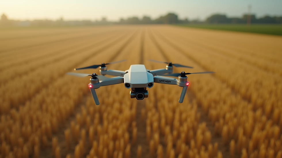
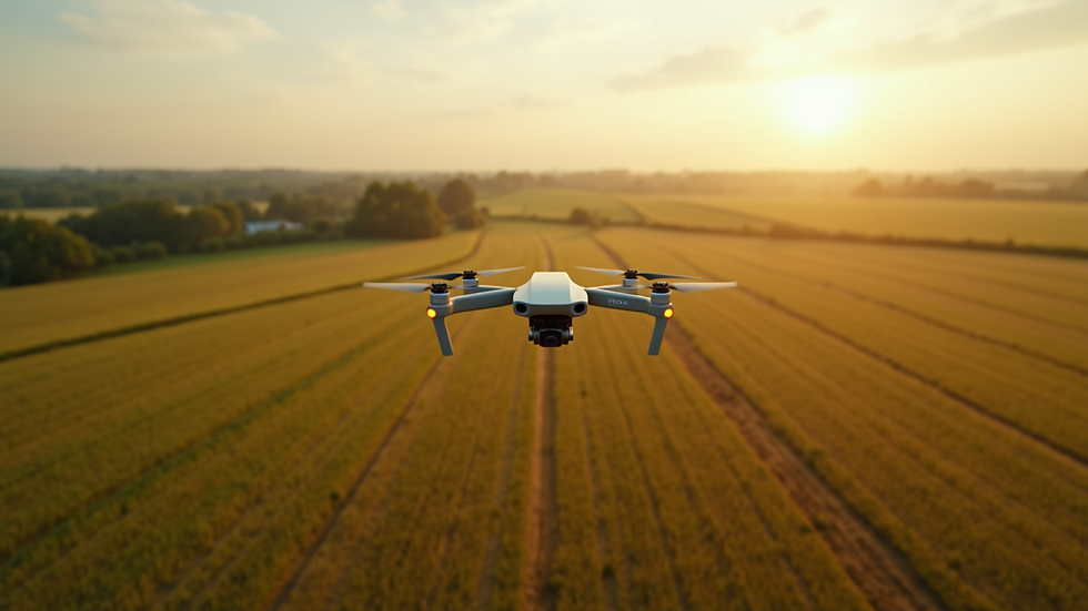
Drone mapping services have become indispensable tools for capturing accurate, high-resolution aerial data quickly and cost-effectively. Using drones equipped with advanced cameras and sensors, these services provide detailed maps, 3D models, and orthomosaics that reveal insights impossible to obtain from the ground.
For example, in agriculture, drone mapping allows for precise crop health monitoring, irrigation planning, and yield estimation. Construction professionals benefit from up-to-date site surveys, progress tracking, and volume calculations. Real estate agents can showcase properties with stunning aerial visuals, while infrastructure managers use these maps for maintenance planning and risk assessment.
The beauty of drone mapping lies in its ability to cover large areas swiftly, reducing the need for manual surveys that are time-consuming and prone to errors. The data collected is not only rich in detail but also easily integrated into CAD and GIS software, streamlining workflows and enhancing accuracy.
How Drone Mapping Services Work: From Flight to Final Map
Understanding the process behind drone mapping services helps appreciate their value. It starts with careful planning, where flight paths are designed to ensure comprehensive coverage and optimal image overlap. This step is crucial for creating accurate maps and 3D models.
Next, the drone takes to the sky, capturing hundreds or thousands of overlapping images from various angles. These images are then processed using specialized photogrammetry software, which stitches them together to create detailed orthomosaics and 3D reconstructions.
The final deliverables can include:
Orthomosaic maps: High-resolution, georeferenced images that look like traditional maps but with far greater detail.
Digital Elevation Models (DEMs): Representations of terrain elevations, useful for flood risk analysis and construction grading.
3D models: Realistic, interactive models of buildings, landscapes, or infrastructure.
Volume calculations: Essential for mining, stockpile management, and earthworks.
This workflow ensures that clients receive actionable data tailored to their specific needs, enabling smarter decisions and improved project outcomes.

How Much Does Photogrammetry Cost?
One of the most common questions I encounter is about the cost of photogrammetry services. Pricing can vary widely depending on several factors, including:
Project size and complexity: Larger areas or sites with complex terrain require more flight time and data processing.
Resolution and accuracy requirements: Higher precision demands more detailed data capture and processing.
Deliverables: The type and number of outputs, such as 3D models or volume reports, influence the cost.
Location and accessibility: Remote or difficult-to-access sites may incur additional expenses.
Typically, professional drone mapping services offer competitive pricing compared to traditional surveying methods. For example, a small agricultural field might cost a few hundred dollars, while extensive construction sites or infrastructure projects could range into the thousands.
It’s important to work with a provider who offers transparent pricing and custom quotes based on your project’s unique needs. This ensures you get the best value without compromising on quality or accuracy.
Practical Applications of Aerial Photogrammetry Services
Integrating aerial photogrammetry services into your operations unlocks a world of possibilities. Here are some practical examples across key industries:
Agriculture
Crop health monitoring: Detect stressed plants early using multispectral imaging.
Irrigation management: Identify dry zones and optimize water use.
Planting and harvesting planning: Use elevation and soil data to improve yields.
Construction
Site surveys: Quickly generate accurate topographic maps.
Progress tracking: Compare current site conditions with plans.
Volume measurements: Calculate earthmoving quantities precisely.
Real Estate
Property marketing: Create stunning aerial photos and videos.
Land assessment: Evaluate terrain and boundaries.
Development planning: Visualize potential changes with 3D models.
Infrastructure
Inspection and maintenance: Monitor bridges, roads, and utilities.
Risk assessment: Identify erosion, cracks, or other hazards.
Planning upgrades: Use detailed maps for design and approvals.
By leveraging these services, businesses can reduce costs, improve safety, and enhance project accuracy.
Choosing the Right Drone Mapping Service Provider
Selecting a professional drone mapping service provider is a critical step toward maximizing the benefits of this technology. Here are some key factors to consider:
Experience and expertise: Look for providers with a proven track record in your industry.
Technology and equipment: Ensure they use the latest drones and photogrammetry software.
Data quality and accuracy: Request sample deliverables and client references.
Turnaround time: Confirm their ability to meet your project deadlines.
Customer support: Choose a partner who offers clear communication and ongoing assistance.
At CADi Services, we pride ourselves on delivering top-tier drone mapping solutions tailored to the unique needs of Upstate NY businesses. Our commitment to precision and efficiency helps clients make smarter decisions with confidence.
Unlocking New Possibilities with Advanced Drone Imaging
The future of spatial data collection is bright, and professional drone mapping services are at the forefront of this transformation. By embracing these technologies, you gain access to unparalleled detail, speed, and flexibility that traditional methods simply cannot match.
Whether you’re optimizing crop yields, managing construction projects, marketing real estate, or maintaining critical infrastructure, drone mapping combined with photogrammetry offers a powerful toolkit. It empowers you to visualize your projects from new perspectives, identify challenges early, and execute plans with greater confidence.
I encourage you to explore how these innovative services can elevate your operations. With the right partner and technology, the sky is truly the limit.
Thank you for joining me on this exploration of professional drone mapping services. If you’re ready to harness the power of aerial data for your business, consider reaching out to experts who understand your industry and region. Together, we can chart a course toward smarter, more efficient project success.


Comments