
How Drone Technology is Revolutionizing Land Surveying in Upstate NY
- camron246
- Jan 8, 2025
- 1 min read
The land surveying industry is embracing a new era, driven by the innovative use of drones. According to a recent News10 article, the demand for skilled drone operators in land surveying is surging, and for good reason. Drones are transforming the way surveys are conducted, offering unparalleled accuracy, efficiency, and safety.
Why Are Drones in High Demand?
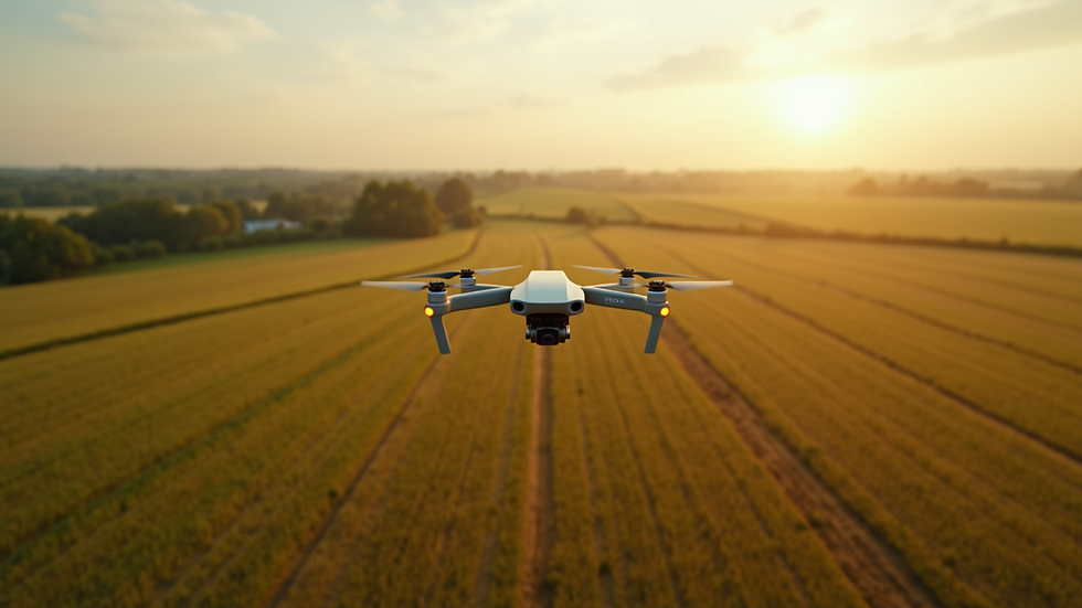
Traditional land surveying methods can be time-consuming and labor-intensive. Drones, equipped with advanced imaging and mapping technologies, can collect detailed data in a fraction of the time. They excel in capturing high-resolution images and creating 3D maps, making them ideal for projects ranging from construction and real estate to agriculture and environmental monitoring.
Applications in Upstate NY
Upstate New York’s diverse terrain—from bustling urban developments to expansive farmland—presents unique challenges for land surveyors. Drones overcome these obstacles by accessing hard-to-reach areas and providing precise data, enabling businesses and municipalities to make informed decisions.
How CADi Services LLC Fits In
At CADi Services LLC, we understand the importance of accurate and efficient land surveying. As a drone imaging company based in Saratoga County, we offer a range of services tailored to meet the needs of local clients. Whether it’s creating topographic maps, inspecting agricultural fields, or supporting construction projects, our FAA-certified operators deliver results that exceed expectations.


Comments