
Thermal Drone Imaging Albany: Unlocking New Perspectives with the Mavic 3T
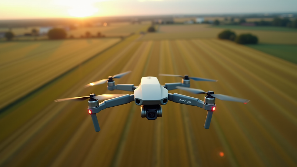
When it comes to capturing precise aerial data, the Mavic 3T stands out as a game-changer. This advanced drone combines cutting-edge thermal imaging technology with exceptional flight capabilities, making it an indispensable tool for businesses across agriculture, construction, real estate, and infrastructure in Upstate New York. In this post, I’ll share how thermal drone imaging Albany is revolutionizing these industries and why the Mavic 3T is the perfect partner for your next project.
Why Thermal Drone Imaging Albany is a Must-Have for Your Business
Thermal imaging drones provide a unique perspective that traditional cameras simply cannot match. By detecting heat signatures, these drones reveal hidden details invisible to the naked eye. This capability is especially valuable in Albany’s diverse landscape and climate, where early detection of issues can save time and money.
For example, in agriculture, thermal imaging helps identify irrigation problems, pest infestations, and crop health variations. In construction, it detects heat loss, electrical faults, and structural weaknesses. Real estate professionals benefit from detailed inspections of roofs and HVAC systems, while infrastructure managers can monitor bridges, power lines, and pipelines efficiently.
The Mavic 3T’s thermal sensor delivers crisp, high-resolution images that make these insights actionable. Its compact design and intuitive controls allow for quick deployment, even in challenging environments. This combination of power and portability ensures you get the most accurate data with minimal hassle.

How the Mavic 3T Enhances Thermal Drone Imaging Albany
The Mavic 3T is engineered to elevate your thermal imaging experience. Here’s how it stands apart:
Dual-Sensor Technology: It features both a thermal sensor and a 4/3 CMOS visual camera. This dual setup allows you to capture thermal and RGB images simultaneously, providing a comprehensive view of your site.
High Thermal Resolution: With a 640x512 thermal sensor, the Mavic 3T captures detailed heat maps that reveal subtle temperature differences.
Extended Flight Time: Up to 45 minutes of flight time means you can cover large areas without interruption.
Advanced Obstacle Avoidance: Fly confidently in complex environments with omnidirectional sensors that prevent collisions.
Intelligent Flight Modes: Automated flight paths and waypoint missions simplify data collection, ensuring consistent and repeatable results.
These features make the Mavic 3T an ideal choice for businesses seeking reliable, high-quality thermal drone imaging Albany. Whether you’re inspecting a sprawling farm or a multi-story construction site, this drone delivers precision and efficiency.
Practical Applications of Thermal Imaging in Upstate NY Industries
Thermal imaging is not just a novelty; it’s a practical tool that drives smarter decision-making. Here are some specific ways it benefits key sectors in Albany and beyond:
Agriculture
Crop Health Monitoring: Detect stressed plants early by identifying temperature variations caused by water deficiency or disease.
Irrigation Management: Pinpoint leaks or uneven watering to optimize resource use and improve yields.
Livestock Care: Monitor animal health by spotting abnormal heat patterns that indicate illness or injury.
Construction
Building Inspections: Identify heat loss, moisture intrusion, and electrical faults before they become costly problems.
Safety Checks: Detect overheating equipment or potential fire hazards on site.
Progress Monitoring: Track construction phases with thermal overlays to ensure quality and compliance.
Real Estate
Property Inspections: Assess roof integrity, insulation, and HVAC performance to provide buyers with detailed reports.
Energy Audits: Highlight areas where energy efficiency can be improved, adding value to listings.
Infrastructure
Utility Inspections: Monitor power lines, transformers, and pipelines for overheating or leaks.
Bridge and Road Assessments: Detect structural weaknesses that require maintenance.
Emergency Response: Quickly locate hotspots during fire or disaster situations to guide first responders.
By integrating thermal imaging into your workflow, you gain a powerful advantage in managing assets and mitigating risks.

Getting Started with Thermal Drone Imaging in Albany
If you’re ready to harness the power of thermal imaging, here are some actionable steps to get started:
Define Your Objectives: Identify the specific challenges or goals you want to address with thermal imaging.
Choose the Right Equipment: The Mavic 3T offers an excellent balance of performance and ease of use for most applications.
Plan Your Flights: Consider weather conditions, flight paths, and regulatory requirements in Albany.
Collect and Analyze Data: Use specialized software to interpret thermal images and generate actionable reports.
Implement Findings: Apply insights to improve operations, reduce costs, and enhance safety.
Partnering with a trusted provider who understands local conditions and industry needs can streamline this process. They can help you maximize the value of your investment and ensure compliance with FAA regulations.
For those interested in exploring this technology further, I recommend checking out mavic 3t thermal imaging albany for expert guidance and tailored solutions.
The Future of Thermal Imaging in Upstate New York
Thermal drone imaging is rapidly evolving, and the Mavic 3T is at the forefront of this transformation. As technology advances, we can expect even greater resolution, longer flight times, and smarter analytics. These improvements will unlock new possibilities for businesses in agriculture, construction, real estate, and infrastructure.
By adopting thermal imaging now, you position your business to stay ahead of the curve. You’ll gain deeper insights, improve operational efficiency, and enhance safety across your projects. The ability to see what others cannot is a powerful competitive edge.
Embracing this technology also supports sustainability goals by optimizing resource use and reducing waste. In a region like Upstate New York, where environmental stewardship is a priority, thermal imaging aligns perfectly with responsible business practices.
Thermal drone imaging Albany is more than just a trend - it’s a strategic investment in your business’s future. With the Mavic 3T, you gain access to unparalleled thermal imaging capabilities that deliver clear, actionable data. Whether you’re managing crops, inspecting buildings, or maintaining infrastructure, this technology empowers you to make smarter decisions with confidence.
Explore the possibilities today and discover how thermal imaging can transform your operations. The future is bright - and it’s visible through the lens of the Mavic 3T.


Comments