
Unlock the Potential of Aerial Photogrammetry with Aerial Mapping Services
- camron246
- Feb 23
- 4 min read
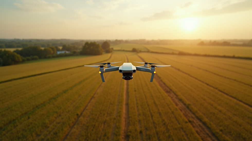
In today’s fast-paced industries like agriculture, construction, real estate, and infrastructure, having accurate and timely data is crucial. That’s where aerial photogrammetry steps in as a game-changer. By capturing detailed aerial images and transforming them into precise maps and 3D models, this technology unlocks new possibilities for smarter decision-making. With the rise of drone technology and advanced imaging techniques, aerial mapping services have become more accessible and affordable than ever before. Let me take you through how this innovative approach can elevate your projects and operations in Upstate NY.
Why Choose Aerial Mapping Services for Your Business?
Aerial mapping services offer a bird’s-eye view that traditional surveying methods simply cannot match. Whether you’re managing vast farmland, overseeing a construction site, or evaluating real estate properties, aerial mapping provides comprehensive data quickly and efficiently.
Here’s why aerial mapping services stand out:
Speed and Efficiency: Drones can cover large areas in a fraction of the time it takes ground teams.
High Accuracy: Modern photogrammetry software processes images to create maps with centimeter-level precision.
Cost-Effective: Reduces the need for extensive manual labor and expensive equipment.
Versatility: Suitable for diverse industries including agriculture, construction, real estate, and infrastructure.
Safety: Minimizes the risk of accidents by reducing the need for personnel in hazardous locations.
For example, in agriculture, aerial mapping can help monitor crop health, identify irrigation issues, and optimize fertilizer use. In construction, it provides up-to-date site progress reports and helps with volume calculations. Real estate professionals can showcase properties with stunning aerial visuals, while infrastructure managers can inspect bridges, roads, and utilities without disrupting traffic.

How Aerial Photogrammetry Services Transform Data Collection
Aerial photogrammetry services combine drone technology with sophisticated software to convert overlapping aerial photos into detailed maps and 3D models. This process involves several key steps:
Flight Planning: Defining the area to be surveyed and setting flight paths to ensure complete coverage.
Image Capture: Using drones equipped with high-resolution cameras to take multiple overlapping photos.
Data Processing: Uploading images to photogrammetry software that stitches them together, corrects distortions, and generates accurate spatial data.
Analysis and Delivery: Producing orthomosaic maps, digital elevation models (DEMs), contour maps, and 3D models tailored to client needs.
The precision of aerial photogrammetry is unmatched. For instance, construction managers can rely on these maps to track earthworks and material stockpiles with exact measurements. Farmers can detect subtle variations in crop vigor that are invisible from the ground. Real estate developers gain a comprehensive understanding of terrain and property boundaries before breaking ground.
By integrating these services into your workflow, you gain a powerful tool that enhances planning, monitoring, and reporting.

How much does photogrammetry cost?
Understanding the cost of photogrammetry is essential for budgeting and project planning. The price varies depending on several factors:
Project Size: Larger areas require longer flight times and more data processing.
Resolution Requirements: Higher resolution images and models demand more advanced equipment and software.
Complexity of Terrain: Challenging landscapes may need additional flight planning and data correction.
Deliverables: The type of output you need, such as 2D maps, 3D models, or volumetric analysis, influences the cost.
Frequency of Surveys: Regular monitoring projects may benefit from discounted rates or service packages.
On average, small to medium-sized projects in Upstate NY can range from a few hundred to several thousand dollars. However, the return on investment is significant when you consider the time saved, improved accuracy, and enhanced decision-making capabilities.
To get the best value, I recommend partnering with a local provider who understands the regional landscape and industry needs. This ensures tailored solutions and responsive support.
Practical Applications of Aerial Photogrammetry in Upstate NY
The diverse terrain and industries in Upstate NY make aerial photogrammetry especially valuable. Here are some practical examples of how businesses can leverage this technology:
Agriculture
Monitor crop health using multispectral imaging.
Detect pest infestations early.
Optimize irrigation by identifying dry zones.
Calculate precise acreage for planting and harvesting.
Construction
Track site progress with up-to-date maps.
Measure stockpile volumes accurately.
Plan earthworks and grading with digital elevation models.
Improve safety by reducing on-site inspections.
Real Estate
Create stunning aerial visuals for marketing.
Assess property boundaries and topography.
Plan developments with accurate terrain data.
Enhance client presentations with 3D models.
Infrastructure
Inspect bridges, roads, and utilities without disruption.
Monitor changes over time for maintenance planning.
Map hard-to-reach areas safely.
Support emergency response with real-time data.
By integrating aerial photogrammetry into your operations, you gain a competitive edge and unlock new efficiencies.
How to Choose the Right Aerial Photogrammetry Provider
Selecting the right partner for aerial photogrammetry services is crucial to maximize benefits. Here are some tips to guide your decision:
Experience and Expertise: Look for providers with a proven track record in your industry.
Local Knowledge: A company familiar with Upstate NY’s geography and regulations will deliver better results.
Technology and Equipment: Ensure they use the latest drones and software for high-quality data.
Customization: Choose a provider who tailors services to your specific needs and project goals.
Customer Support: Responsive communication and ongoing support are essential for smooth project execution.
Compliance and Safety: Verify that the provider follows FAA regulations and prioritizes safety.
I recommend exploring aerial photogrammetry services offered by CADi Services, a trusted local expert dedicated to helping businesses in Upstate NY harness the power of drone imaging.
Embrace the Future of Precision Mapping Today
The potential of aerial photogrammetry is vast and growing. By adopting aerial mapping services, you position your business at the forefront of innovation. You gain access to precise, actionable data that drives smarter decisions, reduces costs, and accelerates project timelines.
Whether you’re managing crops, constructing buildings, marketing properties, or maintaining infrastructure, aerial photogrammetry offers a transformative advantage. Don’t let outdated methods hold you back. Embrace this cutting-edge technology and watch your operations soar to new heights.
Ready to unlock the full potential of aerial photogrammetry? Partner with a reliable provider in Upstate NY and experience the difference that precision aerial data can make.
Empower your business with the clarity and insight that only aerial photogrammetry can provide. The sky is no longer the limit – it’s your new vantage point.


Comments