
Uncover the Unseen: Exploring the Mavic 3T Thermal Imaging Technology with CADi-Services LLC
- camron246
- Jan 3, 2025
- 2 min read
Updated: Mar 2, 2025
In an age of rapid technological advancement, thermal imaging emerges as a revolutionary tool across many fields. The Mavic 3T from CADi-Services LLC brings this innovative technology into a compact drone platform, empowering users to capture unseen details and improve their operations. Whether it's for public safety, search and rescue, or infrastructure inspection, the Mavic 3T offers powerful features that can elevate data collection and analysis.
What is Thermal Imaging?
Thermal imaging is a technique that visualizes heat patterns in environments. Unlike standard cameras that depend on visible light, thermal cameras detect infrared radiation produced by objects. This capability allows operators to see temperature differences even in complete darkness or through obstacles like smoke and fog.
For example, a thermal camera can help identify HVAC issues by revealing cold and hot spots in a building. This technology opens doors for various industries, including construction, healthcare, and emergency services, enabling professionals to make informed decisions based on immediate data.

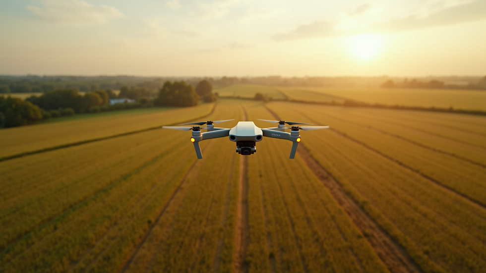
Mavic 3T: A Game Changer
The Mavic 3T is designed with advanced thermal imaging capabilities that set it apart in the industry. It features a dual-camera system, combining a high-resolution optical camera with a specialized thermal camera. Users can easily switch between the two views, gaining richer insights right at their fingertips.
With a flight time exceeding 40 minutes, this drone covers significant areas, which is essential for operations like search and rescue and infrastructure monitoring. Remarkably, studies show that aerial thermal imaging can reduce search times by almost 30%, making technology critical when lives and resources are at stake.
Practical Applications
Think about a firefighter battling a blaze in thick smoke. The Mavic 3T allows them to pinpoint hotspots from a safe distance, facilitating efficient resource allocation during emergencies. For instance, during a recent operation, teams reported a 20% faster response time when utilizing thermal drones versus traditional methods.
The construction sector also greatly benefits from the Mavic 3T. It can identify heat loss in buildings, pinpoint electrical hotspots, and assess structural integrity. Addressing these issues early can save companies up to 30% in repair costs and prevent potential hazards before they escalate.

Benefits of Using Mavic 3T Thermal Imaging
The advantages of using the Mavic 3T are substantial. For starters, it enhances safety by minimizing the need for manual inspections in dangerous environments. Secondly, the drone enables rapid data collection, leading to quicker decision-making. In a survey of drone users, 75% reported improved workflow efficiency and collaboration among team members, thanks in part to the high-quality imaging these drones provide.
The Mavic 3T is crafted for durability and equipped with technology that professionals rely on for real-time data in complex situations.
Looking Ahead with the Mavic 3T
The Mavic 3T by CADi-Services LLC is not merely a drone; it is an indispensable tool filled with thermal imaging technology that enhances our ability to see the unseen. From emergency cases to construction analytics, this drone offers vital insights that can significantly impact operations. The future of thermal imaging is here, and the possibilities are vast. What will you uncover next?


Comments